

Call Us 24/7


days
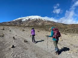
The Lemosho Route is one of the most scenic and less crowded paths to the summit of Mount Kilimanjaro, Tanzania’s iconic peak. It approaches the mountain from the west, starting at the Lemosho Glades, and offers a journey through lush rainforest, moorlands, and alpine deserts before reaching the snow-capped summit.
Departure from Moshi is followed by a scenic four hour drive to Londorossi Gate, where entry formalities are completed. The journey then continues to the Lemosho trailhead. Upon arrival, the hike begins through pristine, undisturbed forest, with the trail winding gently to the first campsite.
Hiking Time: 3-4 hours
Elevation: 7,742 ft to 9,498 ft
Distance: 6 km | 4 miles
Habitat: Rain Forest
Meals included: Half Board
The trail leads gradually out of the rainforest and into open savannah characterized by tall grasses, heather, and volcanic rock draped with lichen beards. Ascending through lush, rolling hills and crossing several streams, the route reaches the Shira Ridge before gently descending to Shira 1 Camp. From here, the first panoramic views of Kibo appear across the plateau.
Hiking Time: 5-6 hours
Elevation: 9,498 ft to 11,500 ft
Distance: 8 km | 5 miles
Habitat: Heath
Meals included: Full board
A full day is spent exploring the expansive Shira Plateau, following a gentle eastward walk across moorland meadows toward Shira 2 Camp. The route then diverts from the main trail to Moir Hut, a quiet and seldom-used site at the base of the Lent Hills. With a variety of walks available in the Lent Hills, this area offers an excellent opportunity for acclimatization. The Shira Plateau is recognized as one of the highest plateaus on Earth.
Hiking Time: 5-7 hours
Elevation: 11,500 ft to 13,800 ft
Distance: 11 km | 7 miles
Habitat: Heath
Meals included: Full board
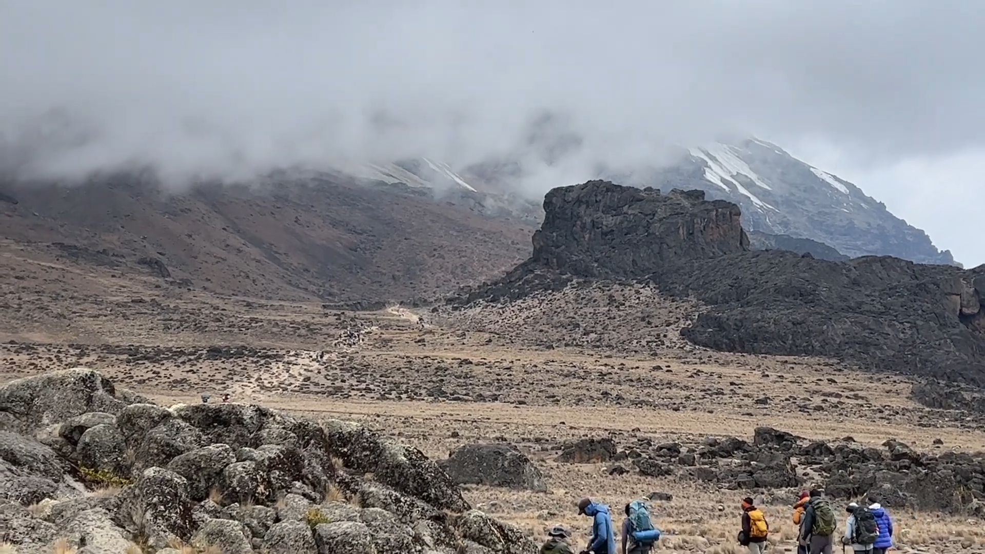
We begin the day with a steady climb up a ridge before traversing southeast toward the Lava Tower, an impressive volcanic rock formation rising about 300 feet. The trail then descends through the striking Senecio Forest to Barranco Camp at an elevation of 13,000 feet. Although the day starts and ends at the same altitude, the time spent higher on the mountain is highly beneficial for acclimatization.
Hiking Time: 4–5 hours
Elevation: 13,800 ft to 15,190 ft
Distance: 7 km | 4 miles
Habitat: Alpine Desert
Meals included: Full board
The day starts with a descent into a ravine at the base of the Great Barranco Wall, followed by a steep but non-technical climb of nearly 900 feet. From the top of the wall, the route crosses a series of rolling hills and shallow valleys before dropping sharply into Karanga Valley. A final steep ascent leads to Karanga Camp, completing a shorter day designed for acclimatization
Hiking Time: 4-5 hours
Elevation: 13,044 ft to 13,106 ft
Distance: 5 km | 3 miles
Habitat: Alpine Desert
Meals included: Full board
A descent into a ravine leads to the base of the Great Barranco Wall, followed by a steep but non-technical climb of nearly 900 feet. From the top, the trail winds across rolling hills and valleys before dropping sharply into Karanga Valley.Camp is set up here, providing time to rest and enjoy an early dinner in preparation for summit day. From this vantage, the two peaks of Mawenzi and Kibo are clearly visible
Hiking Time: 4-5 hours
Elevation: 13,044 ft to 13,106 ft
Distance: 5 km | 3 miles
Habitat: Alpine Desert
Meals included: Full board
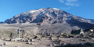
Around midnight, the final push to the summit begins, marking the most mentally and physically demanding part of the trek. The extreme cold and strong winds at this elevation add to the challenge. For several hours, the ascent continues in darkness, with frequent short breaks to catch your breath. Near Stella Point (18,900 ft), the effort is rewarded with a breathtaking sunrise over Mawenzi Peakt ruly a view few will ever forget.The journey then continues to Uhuru Peak, the highest point on Mount Kilimanjaro and the African continent. The descent follows directly down to Mweka Hut, stopping at Barafu for lunch along the rocky trail. The terrain can be tough on the knees, making trekking poles especially useful. Mweka Camp, nestled in the upper forest, often experiences mist or rain by the late afternoon. The day ends with a final dinner on the mountain, followed by a well-earned rest
Hiking Time: 7–8 hours
Elevation: 15,331 ft to 19,341 ft
Distance: 5 km | 3 miles
Habitat: Arctic
Meals included: Full board
On the final day, the trek descends all the way to Mweka Gate, where summit certificates are awarded. Lower down, the trail can be wet and muddy. From the gate, the journey continues for about an hour to Mweka Village, where a vehicle awaits to transfer the group back to the hotel in Moshi.
Hiking Time: 3-4 hours
Elevation: 10,065 ft to 5,380 ft
Distance: 10 km | 6 miles
Habitat: Rain Forest
Meals included: Full board
Copyright © Mnene Tours | All Rights Reserved
